The Ordnance Survey (OS), renowned as Great Britain's national mapping authority, stands as a vital cornerstone of the country's heritage. This esteemed organization operates under the steadfast ownership of the UK government, upholding the essence of a public entity, while its origins are deeply rooted in the realm of military strategy.
Ordnance Survey
The genesis of Britain's mapping agency can be traced back to the compelling need for precision during the Scottish Highlands rebellion of 1745. Subsequently, the looming threat of Napoleonic Wars prompted a broader nationwide requirement for meticulous mapping. Responding to this call, the government entrusted the Board of Ordnance, the defence ministry of the era, to initiate a comprehensive survey of England's susceptible southern coasts. This strategic endeavour marked a significant turning point, heralding the era of detailed maps essential for troop manoeuvres and campaign planning.
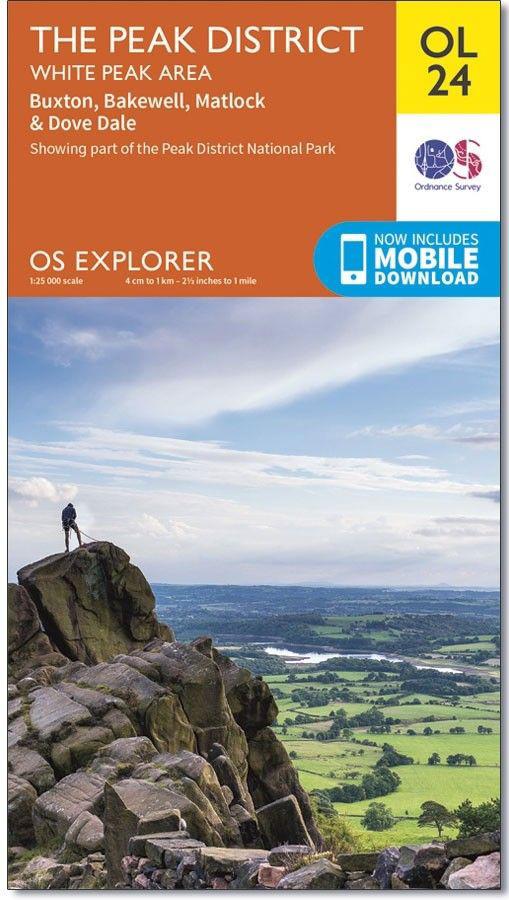
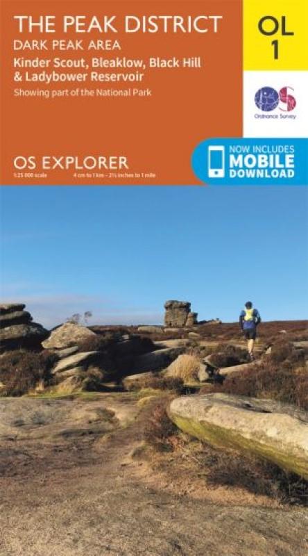
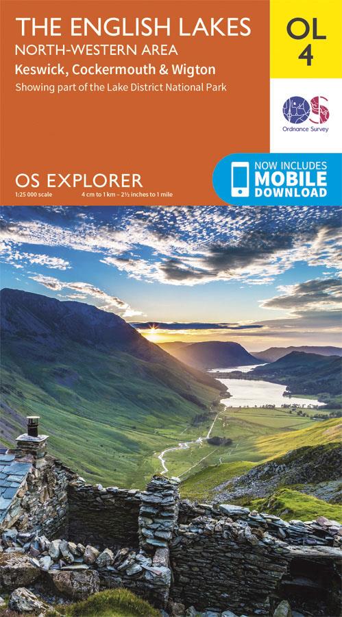
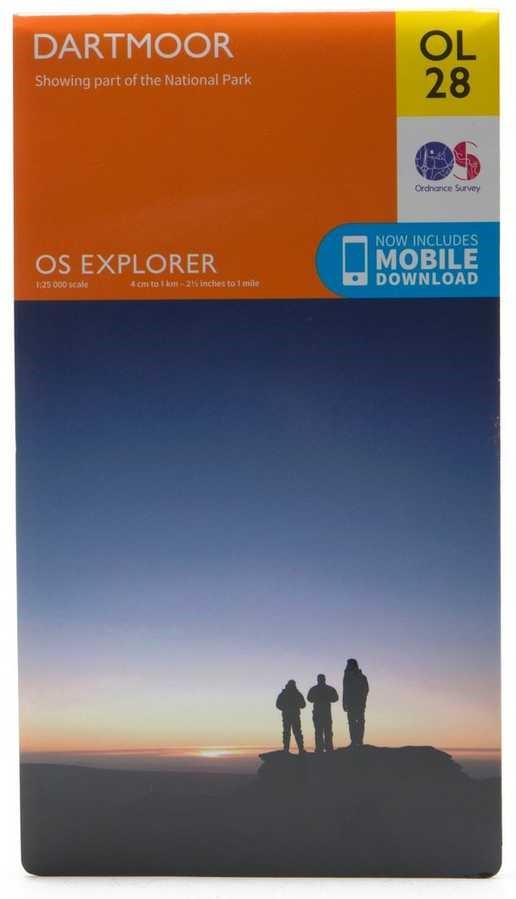
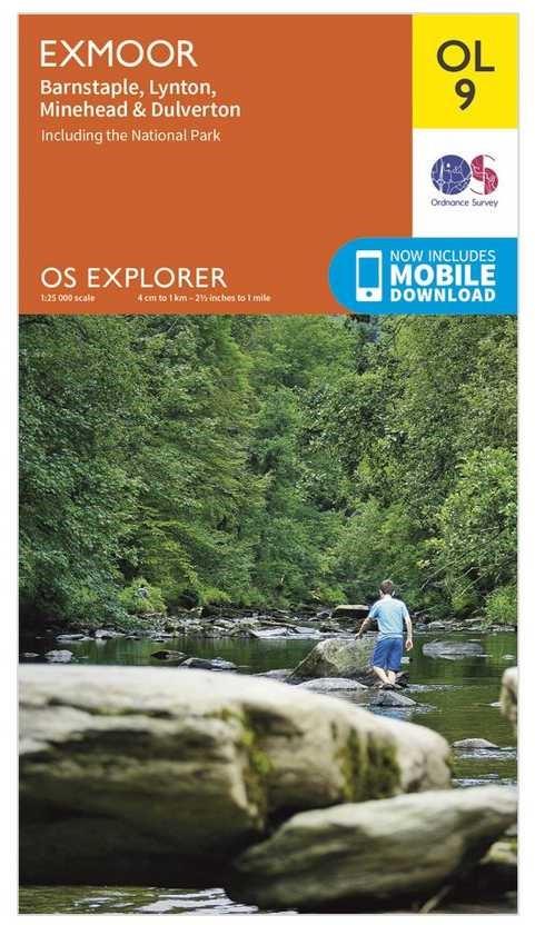
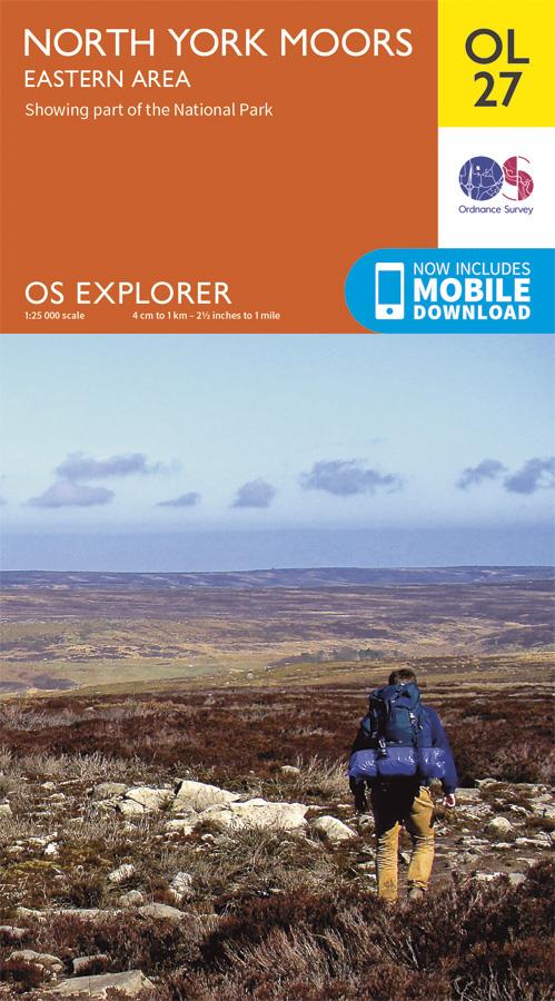
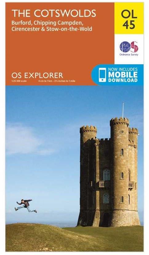
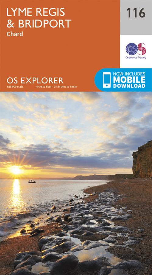
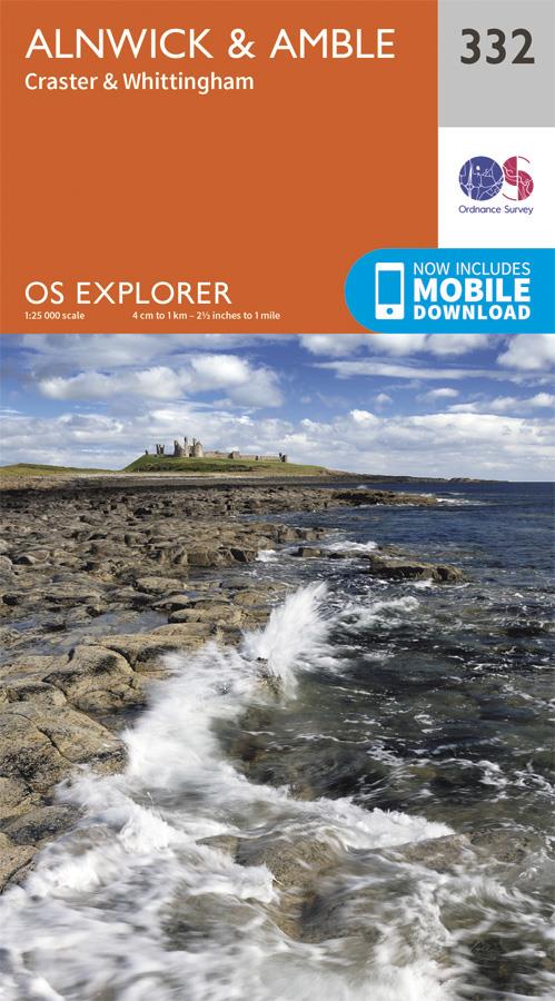
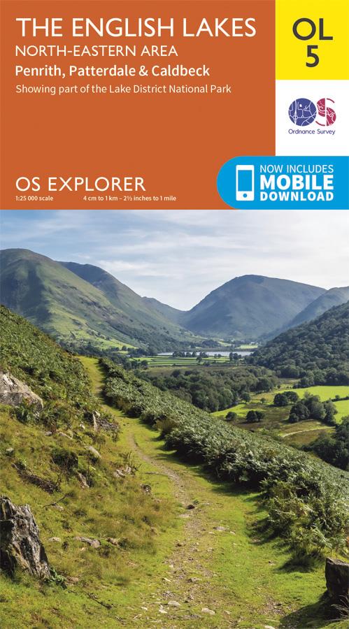
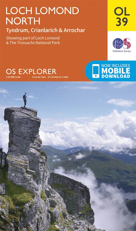
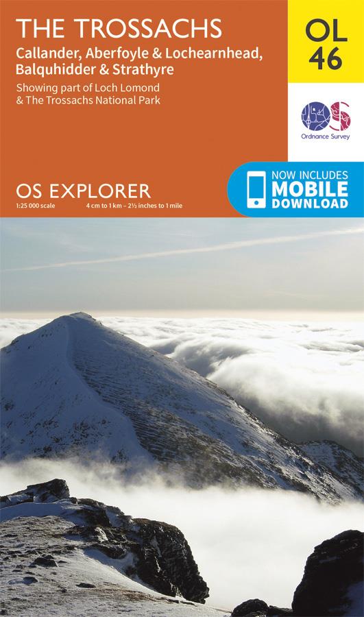
The Ordnance Survey's commitment extends beyond military application, encompassing small-scale mapping tailored for leisure. Among its offerings, the 1:25,000 "Explorer" series, regarded as the most intricate leisure maps, stands as a testament to the organization's dedication. These maps provide a comprehensive canvas, meticulously detailing footpaths and the countryside, serving as an indispensable guide for outdoor enthusiasts and explorers. In its enduring quest for precision and detail, the Ordnance Survey remains an iconic institution, weaving the fabric of Great Britain's rich history and promising a future marked by accuracy and exploration.