- Home >
- Garmin GPSMAP 66S with BridsEye Select Great Britain
This product is currently unavailable
About the Garmin GPSMAP 66S with
The GPSMAP 66S is considered to be one of the most advanced handheld GPS devices for hiking/backpacking or heading out on the trail.
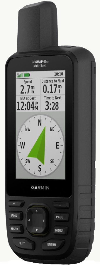
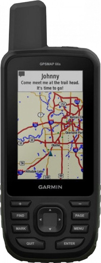
A large 3” display features a sunlight readable coating allowing you to clearly assess data regardless in harsh lighting environments. To recently upgraded antenna uses a Quad Helix design which allows for multi-satellite support as well as wireless connectivity for Active weather, direct downloads and Garmin Explore compatibility.
GPSMAP 66S uses a Multiple Global Navigation Satellite System (GNSS) to provide the most accurate position acquisition in the most challenging environments. For additional topographic accuracy, the device features an internal 3 axis tilt compensated electronic compass in order to help you keep directional accuracy even if it’s held unlevel. A further addition is a barometric altimeter that improves on elevation accuracy that can also be used to track hectopascals allowing you to predict changes in weather conditions.
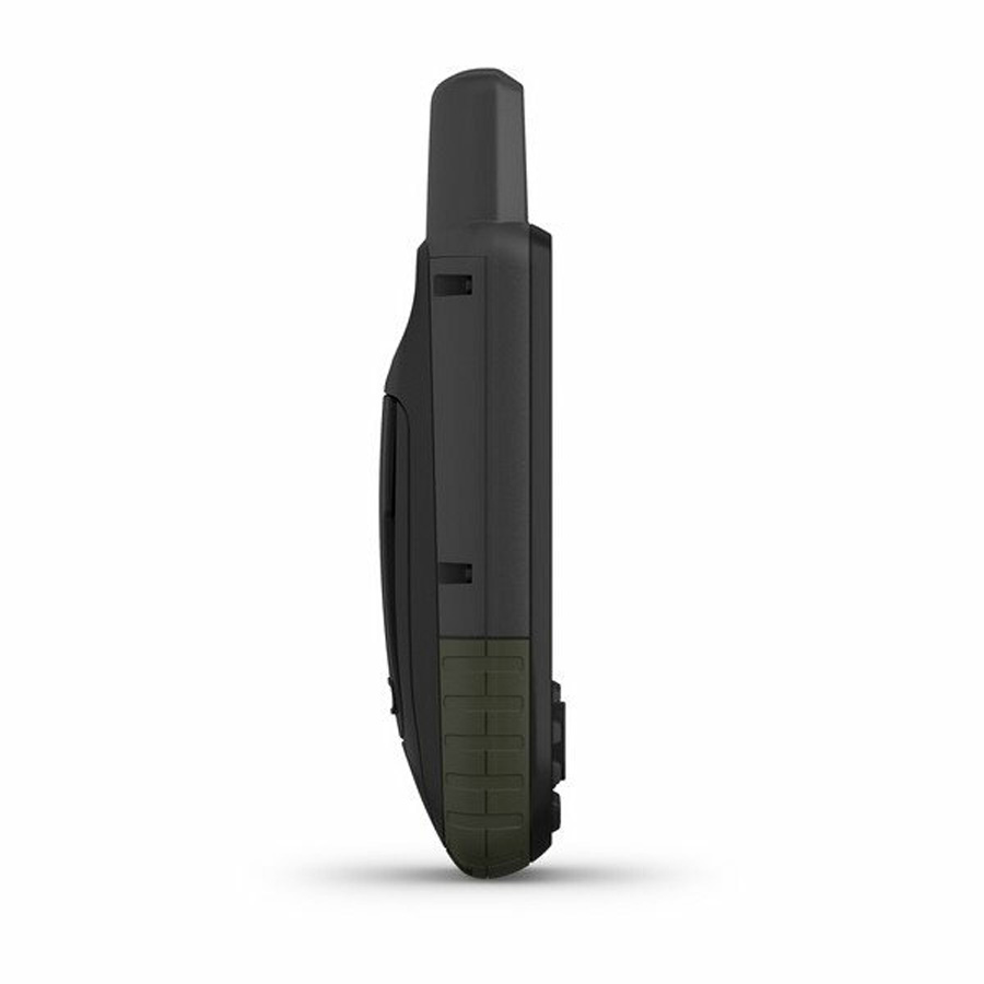
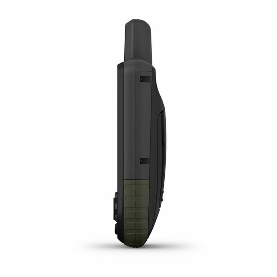
The device features two power options for maximum versatility. GPS mode ensures all additionally wireless connectivity is activated, allowing for a run time of 16 hours. While Expedition Mode disables Bluetooth, ant + and the screen will turn off and the red light next to the power button will occasionally flash to let you know the unit is still powered on, but allows the device to be operational for up to a week!
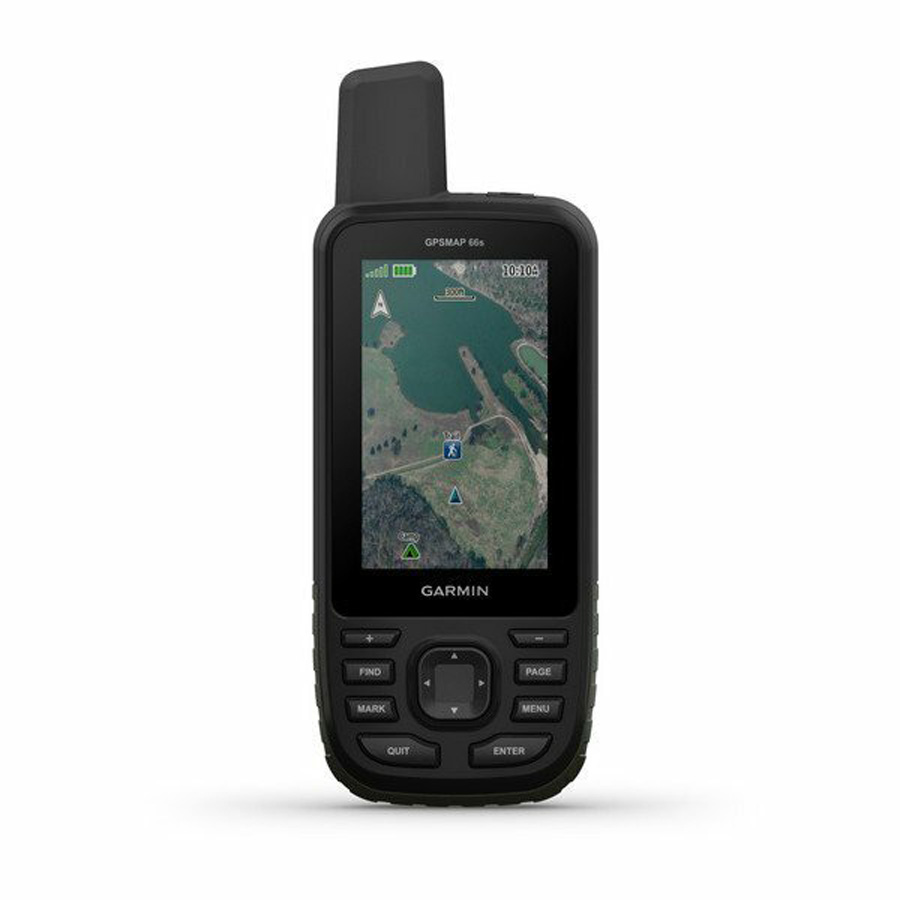
High-resolution photos of your route, allow for increased accuracy; these provide a quantifiable representation of your surroundings. These can be accessed with the direct-to-device download of the imagery, without an annual subscription. This allows you to know your location, not just assume it.
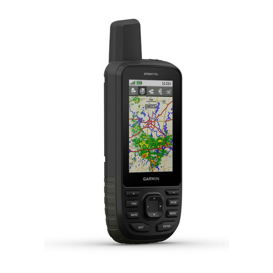
With Bluetooth connectivity receive accurate weather updates and forecast providing predictive maps for temperature, winds, precipitation and clouds. Moreover, live weather radar acts as a warning system to ensure you’re aware of inclement weather which could interfere with your route.
With Garmin connect or wifi, the device can be updated to display the latest Geocaching information from Geocaching Live, including cache descriptions, logs and hints. This removes the need to enter coordinates manually allowing you to explore without hassle.
Included with the GPSMAP 66S is the BirdsEye Select Great Britain Plus download voucher. Worth £99.99 the bundle allows you to tailor your device to where you are travelling. The voucher allows you to choose up to 25,000 sq km of coverage throughout Great Britain, approximately equivalent to the squared kilometre coverage of all British National Parks. Whether you're heading off for the weekend or undergoing a series of expeditions, it provides you with the capabilities to define the data you need for your exact destinations and navigate with Ordnance Survey raster mapping to a scale of 1:25,000.
The Select database contains high-resolution Ordnance Survey images for a true representation of your surroundings. BirdsEye Select works with your Garmin handheld maps to add real-world detail to roads, buildings and the terrain for a greater appreciation of your environment.
All this combined with an LED flashlight and SOS beacon the device can be used to signal for help should the need arise. Moreover adhering to military build quality standards for shock and water resistance (MIL_STD-810G) you can use the device safe in the knowledge it can cope with the worst that nature can throw at it.
Adventure and explore with confidence with the GPSMAP 66S with Birdseye Select GB plus!
- GPSMAP 66s
- Access to Birdseye satellite imagery
- BirdsEye Select Great Britain Plus Download Voucher
- USB cable
- Carabiner clip
- Documentation
- Garmin Explore compatable
- Garmin Connect IQ compatable
- Wireless compatible with WiFi Bluetooth and ANT+
- Map segments: 15,000
- Active weather information
- Smart notifications
- Live tracking with Garmin connect mobile
- BirdsEye direct to device without any annual subscription
- Area calculation
- MIL STD 810G rated for thermal shock and water resistance
- Automatic routing for turn by turn navigation on roads
- Geocaching friendly
- Hunt/fish calender
- Sun and moon information
- Picutre viewer
- Positioning type: Multiple Global Navigation Satellite Systems (GNSS)
- Screen type: 3” Transflective colour TFT
- Waterproof rating: IPX7- waterproof to 1m for 30mins
- Sensors: Barometric altimeter & tilt-compensated 3-axis compass
- Power: 2 x AA (Batteries not included)
- Battery life: Up to 16 hours in GPS mode | 7 Days in Expedition Mode
- Track log: 20,000 points, 250 saved gpx tracks, 300 saved fit activities
- Memory: 16G
- External storage interface: microSD card (not included)
- Style: Handheld
- Display resolution: 240 x 400pixels
- Dimensions: 6.2 x 16.3 x 3.5 cm
- Weight: 230g (with batteries)