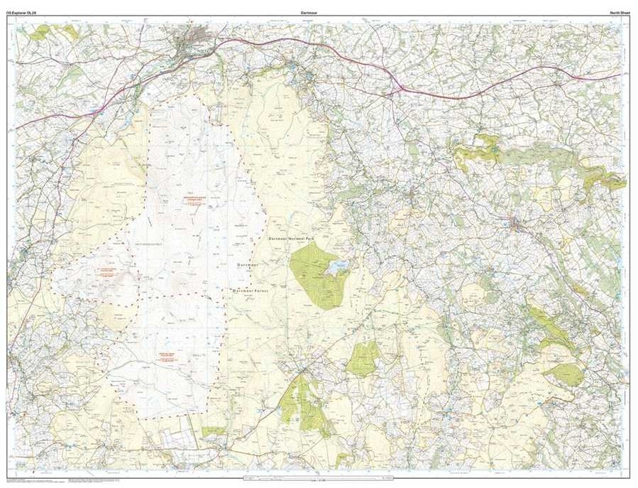
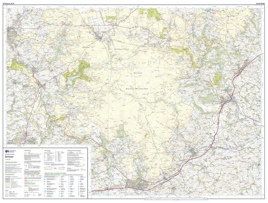
The Explorer Map series gives you Ordnance Survey’s most detailed folding map. Made for a wide range of outdoor activities, Explorer Maps provide a topographic mapping of the area, showing variations in terrain, elevation and landscape features.
Explorer series maps also give you detailed local information, showing rights of way and road networks essential for visits and safe navigation. Includes youth hostels, pubs, campsites, and visitor information plus much more. Boundaries, fences, permissive paths and bridleways are clearly shown to ensure you get the most out of your time in the outdoors.
OS Explorer Maps are the go-to for outdoor navigation, orienteering and wayfinding. The perfect companion to any outdoor adventure.
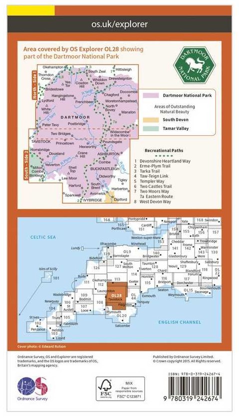
Includes free digital download version. Scratch off the panel on the map's inside cover to reveal a unique code that can be redeemed through the Ordnance Survey website. Terms and conditions apply.
Topgraphic mapping, highly detailed contour mapping highlighting variations in terrain
Find camping sites, picnic spots, tourist information, car parks, historical sites, pubs, & more
Every 4cm on the map is 1km, making the leisure selection the most detailed maps; perfect for activities such as walking, running, & cycling
Find marked public rights of way, byways, trails, cycle routes, bridleways, road networks, & railway lines
Includes a code to access a free digital version which you can download to your smartphone or tablet
Lowdown:
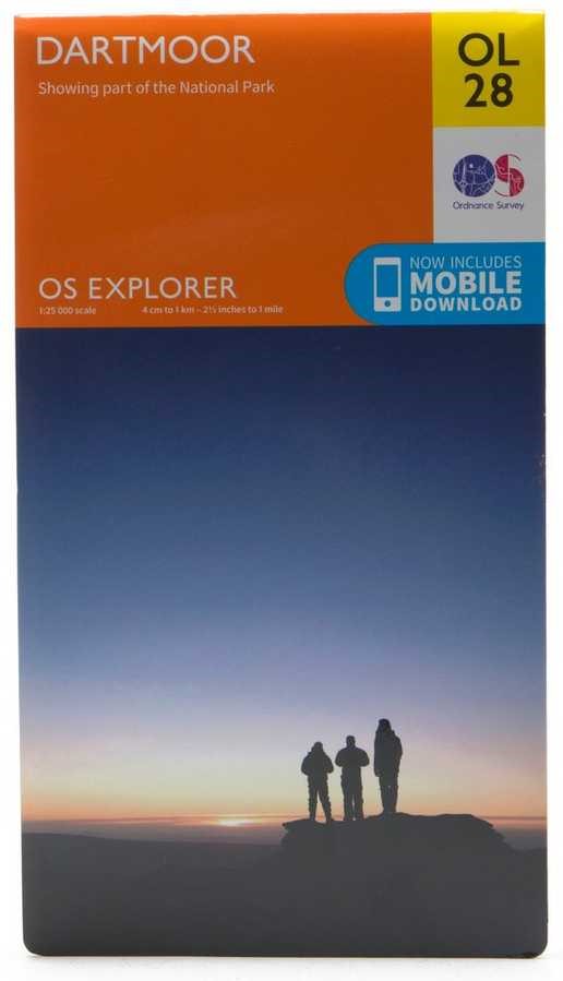
Series: Explorer Maps
Scale: 1:25 000 scale | 4 cm to 1 km | 2.5" to 1 mile
Water-resistant: No
FSC Certified
100% recyclable
Reviews
Lawrence
02/10/2023
Just a map. As expected Unfortunately did not get the discounts expected. Wish I hadn’t ordered from Absolute Snow
Feefo User
06/07/2023
Excellent map told me where I could and could'nt go, quick delivery, all you need.
Ordnance Survey
The Ordnance Survey (OS), renowned as Great Britain's national mapping authority, stands as a vital cornerstone of the country's heritage. This esteemed organization operates under the steadfast ownership of the UK government, upholding the essence of a public entity, while its origins are deeply rooted in the realm of military strategy.
.jpg)